
Borders
India’s administered land boundary runs for roughly 15,000 kilometers and touches six countries: Pakistan, China, Nepal, Bhutan, Bangladesh, and Myanmar. India’s official total also counts a claimed boundary with Afghanistan through territory administered by Pakistan. Almost none of these lines were drawn by the people living along them; two of the most important stretches are not agreed borders at all, and the map India publishes differs from the map its neighbors publish and from the ground.
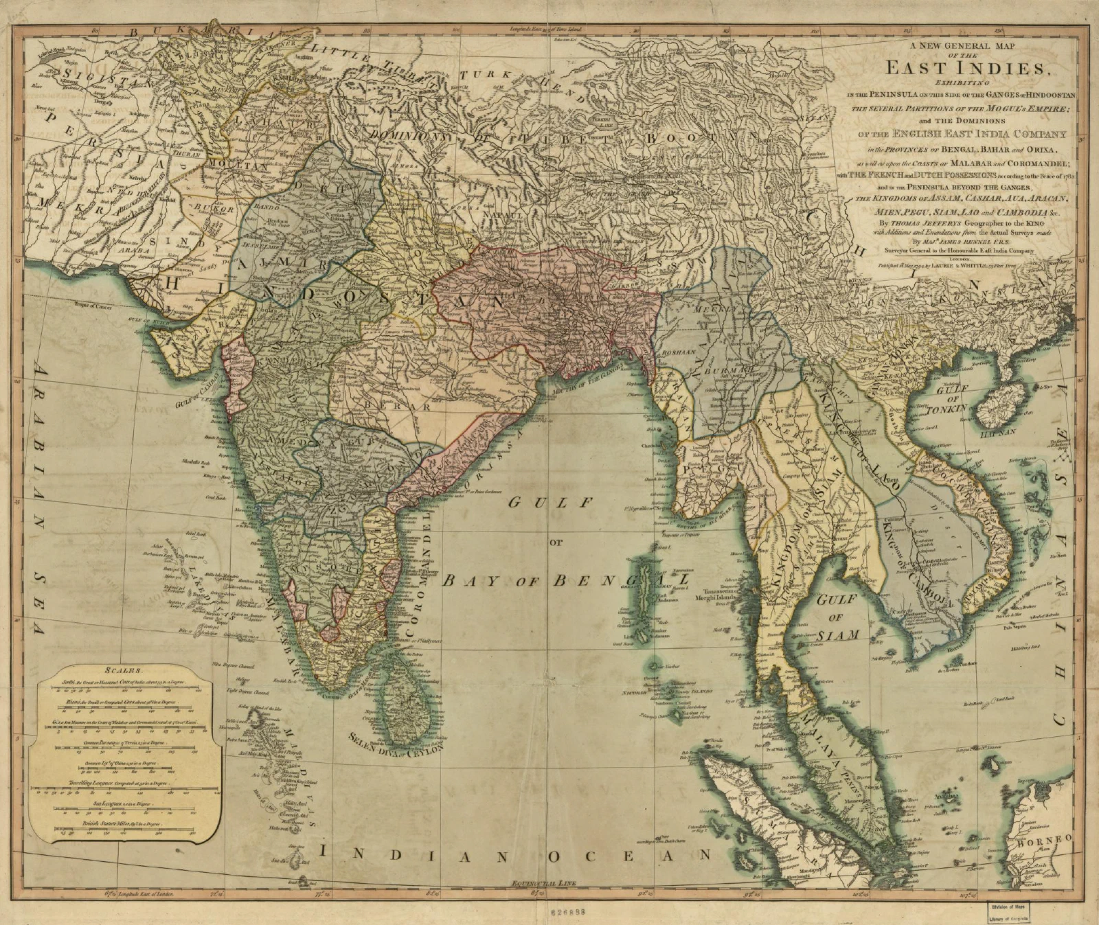
Frontier and boundary
Pre-colonial South Asian states generally had frontiers rather than boundaries: zones of diminishing authority, layered sovereignty, tribute relationships, and populations who owed obligations to more than one power. A hard line at which one exclusive jurisdiction stops, and another begins is a modern European export, and applying it to this terrain has been the source of most of the region’s territorial disputes.
Colonial rule produced the lines in a rush, and independence turned administrative conveniences into international borders overnight.
The Radcliffe Line
Cyril Radcliffe, a British lawyer who had never been to India, arrived in July 1947 and was given about five weeks to partition Punjab and Bengal. He worked from outdated census data and maps, with commissions that deadlocked along communal lines, under a deadline set by the accelerated timetable for British withdrawal. The awards were not published until after Independence, so people celebrated freedom without knowing which country they were in.
The consequences are the subject of the Partition page. The relevant point here is what the line did to geography: it cut irrigation systems from their headworks, railways from their junctions, jute fields from their mills, and the Northeast from its natural connection to Calcutta, leaving the region attached by the narrow Siliguri corridor. The Indus Waters Treaty of 1960 exists because the countries drew a border across a single integrated irrigation system.
Kashmir, and the Line of Control
The princely state of Jammu and Kashmir had a Hindu ruler, a Muslim majority, and borders with both new dominions. Its accession to India in October 1947, amid an invasion by tribal irregulars from Pakistan, produced the first war, a ceasefire brokered at the United Nations, and a Ceasefire Line in 1949 that has divided the territory ever since.
The 1972 Simla Agreement, following the 1971 war, renamed it the Line of Control and committed both sides to resolving matters bilaterally. It is not an international border, and neither country accepts the other’s administration of the far side as legitimate. India claims the whole of the former princely state, including Pakistan-administered Gilgit-Baltistan and Azad Kashmir, and the Aksai Chin held by China; Pakistan claims the Indian-administered portion; China holds Aksai Chin, and the Shaksgam valley ceded to it by Pakistan in 1963, which India does not recognize.
The line runs through some of the most difficult terrain on earth and stops short of defining the ground beyond a point in the north, which is how the Siachen Glacier became a battlefield. India occupied the heights in 1984; both armies have held positions above five thousand meters ever since, and for most of that period, the weather has killed far more soldiers than combat.
India revoked the special constitutional status of Jammu and Kashmir under Article 370 in August 2019. It split the state into two union territories, a domestic constitutional action with obvious external consequences, rejected by Pakistan and criticized by China with respect to Ladakh.
The Line of Actual Control
India’s boundary with China is neither demarcated nor agreed upon, and in places is not even commonly understood, which is why it is called the Line of Actual Control rather than a border.
Two sectors matter most. In the west, Aksai Chin, a high, uninhabited plateau adjoining Ladakh, is held by China and claimed by India; China built a road across it in the 1950s connecting Xinjiang and Tibet, and India did not immediately notice. In the east, China claims most of Arunachal Pradesh, which it calls South Tibet, and rejects the McMahon Line agreed at the Simla Convention of 1914 between British India and Tibetan representatives because Tibet lacked the authority to conclude it.
The 1962 war, which India lost badly, settled nothing legally and left the LAC roughly where the fighting stopped. Both sides have signed agreements on maintaining peace and on procedures for handling face-offs, and those agreements largely worked for decades, with patrols meeting, unfurling banners, and withdrawing. The pattern broke in 2020 in eastern Ladakh, where a confrontation in the Galwan valley killed soldiers on both sides, the first combat deaths on that border since 1975, followed by a long standoff, large troop deployments, and phased disengagement at several points.
The underlying difficulty is that the two sides hold different perceptions of where the line runs, patrol to their own version, and thereby generate the incidents. Rapid infrastructure building on both sides has increased the frequency of contact.
The other neighbours
Bangladesh. India’s longest border, and the site of one of the stranger cartographic legacies anywhere: more than a hundred and fifty enclaves, fragments of one country surrounded by the other, including at least one third-order enclave, reportedly originating in pre-colonial arrangements between local rulers. Their residents lacked effective access to any state’s services for decades. India and Bangladesh finally exchanged them under the Land Boundary Agreement, ratified in 2015, which allowed residents to choose their citizenship; it was a genuinely successful piece of boundary diplomacy. The border is otherwise heavily fenced, and shootings of unarmed people crossing it, including cattle smugglers, have been a persistent grievance and a recurring subject of human rights reporting.
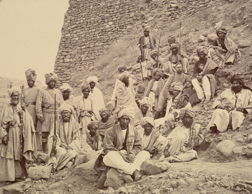
Nepal. An open border, with free movement and residence rights under the 1950 Treaty of Peace and Friendship, and consequently a boundary that most of the time functions as no boundary at all. It has its own dispute, over Kalapani, Lipulekh, and Limpiyadhura at the trijunction with China, where Nepal published a revised map in 2020 asserting a claim India rejects.
Bhutan. India’s closest treaty relationship in the region, with a boundary that is largely settled, and an interest in Bhutan’s own unresolved border with China, particularly at the Doklam plateau near the Siliguri corridor, where an Indian and Chinese standoff in 2017 arose over Chinese road construction.
Myanmar. A border running through the hills of the Northeast that cuts across communities, notably the Naga and the Kuki-Chin-Mizo peoples, who live on both sides. A Free Movement Regime allowed people to cross short distances without documents in recognition of that fact; since 2024, it has been curtailed in favor of fencing, over the objections of state governments in Mizoram and Nagaland.
Sri Lanka and the maritime boundaries. India ceded the islet of Katchatheevu under agreements in the 1970s, a decision that remains politically contentious in Tamil Nadu, and Indian and Sri Lankan fishermen are regularly detained in each other’s waters in the Palk Strait. The maritime boundary with Pakistan is unsettled at Sir Creek, a tidal creek in the Rann of Kutch marshes, where the disagreement is over which bank the line follows, with implications for the seabed boundary and its resources.
Maps as claims
Indian law requires official, published maps to depict the boundaries the government claims, meaning Indian maps show Aksai Chin, Gilgit-Baltistan, and Pakistan-administered Kashmir as Indian territory. Foreign publishers and technology platforms have been penalized or pressured over depictions that differ, and neighboring states apply their own comparable rules.
This is worth stating plainly rather than treating it as a curiosity. A map of India is not a neutral description of what is administered where; it is a legal assertion, and the site’s own maps follow the Survey of India depiction. Anyone comparing an Indian map with a Chinese, Pakistani, or Nepali one is comparing four claims, and the ground beneath them is administered by whoever is standing on it.