
Cities & Migration
India is officially about a third urban, which is almost certainly an undercount, and its cities are built and serviced by people who have not settled in them. Circular migration, in which a worker spends years in a city while keeping a household, land, and voter registration in a village, is not a transitional stage on the way to permanent urbanization. For a very large number of people, it is a permanent arrangement.
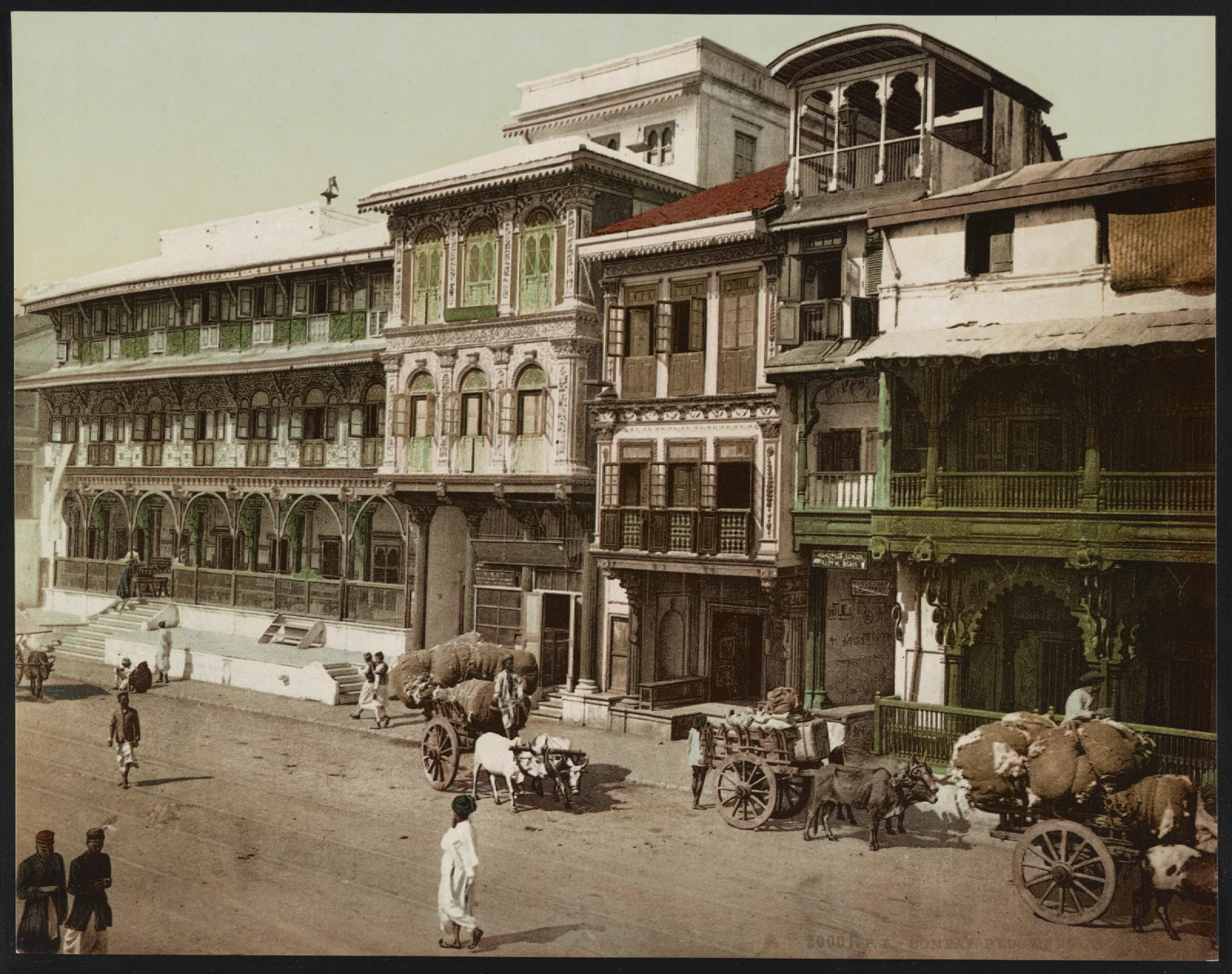
The measurement problem
A settlement counts as urban in the Indian census either because a state has given it a municipal government, or because it meets a statistical test: a minimum population, a minimum density, and a threshold share of male workers in non-agricultural work. Places that meet the second test without the first are called census towns, and they are governed as villages while functioning as small towns.
The number of census towns grew sharply between 2001 and 2011, indicating that significant urbanization is occurring in areas that no state has recognized as urban. Because recognition brings municipal obligations and costs, states have an incentive not to grant it. Applying the definitions other countries use would put India’s urban share considerably higher than the official figure.
This is not a statistical quibble. Governance follows the classification. A census town of 15,000 people receives village institutions and village budgets, yet lacks an urban planning authority, while its water, sanitation, drainage, and building problems are urban ones.
The cities
Delhi’s National Capital Region and Mumbai’s metropolitan region are the two largest urban agglomerations, followed by Kolkata, Bengaluru, Chennai, Hyderabad, Ahmedabad, Pune, and Surat. Each has a distinct economic base: Mumbai in finance, trade, and film; Delhi in government, services, and manufacturing on its periphery; Bengaluru and Hyderabad in software and pharmaceuticals; Chennai in automobiles and electronics; Surat in diamonds and textiles.
The faster growth is elsewhere. Second- and third-tier cities, Coimbatore, Indore, Nagpur, Kochi, Bhubaneswar, Lucknow, Jaipur, and dozens more, are where much of the urban expansion and much of the new consumer market is, and they are chronically under-studied because the people who write about Indian cities live in the largest ones.
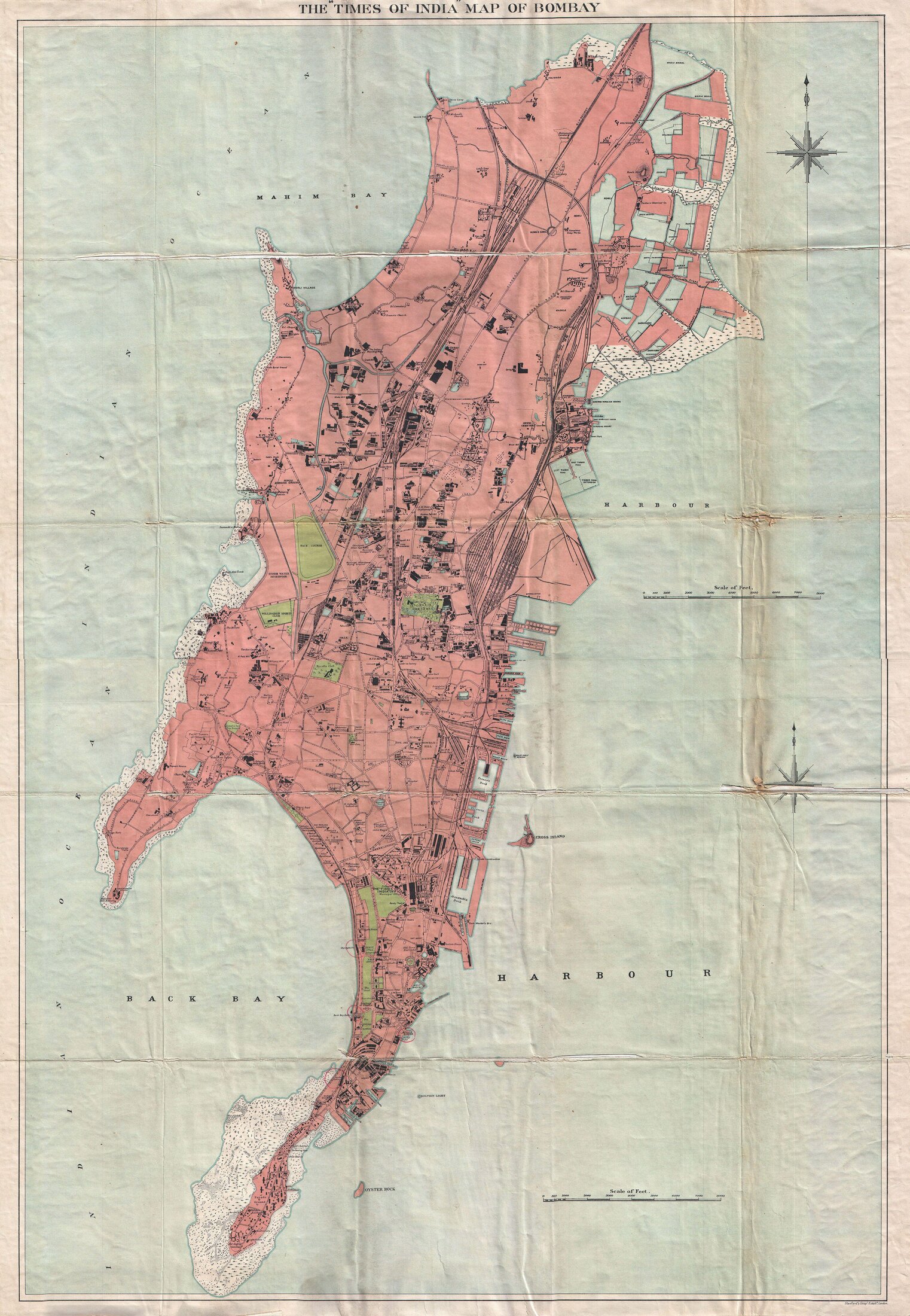
India has also deliberately built new cities: Chandigarh as a replacement capital for a partitioned Punjab, Bhubaneswar, Gandhinagar, Navi Mumbai as a planned counter-magnet across the harbor from Mumbai, and, more recently and less successfully, Amaravati as a new capital for a divided Andhra Pradesh. The record suggests that building the physical city is the easy part, and getting the economy to move there is not.
How people actually move
Internal migration in India is very large in absolute terms and lower as a rate than in comparably sized economies, and both halves of that sentence are true and interesting.
Most recorded migration is by women, and most of it is for marriage, reflecting the near-universal practice of village exogamy across much of northern India rather than economic mobility. Labor migration is undercounted by censuses and surveys based on a single place of usual residence because the people they describe deliberately maintain two.
The dominant pattern for men from poorer regions, eastern Uttar Pradesh, Bihar, Odisha, Jharkhand, Chhattisgarh, West Bengal, is circular: months or years on construction sites, in brick kilns, in textile workshops, in agricultural work in Punjab, or in domestic service, returning for harvests, festivals, and family events. They send remittances that support the home household, which is why the arrangement persists.
The reasons for staying tied to the village are rational. Land, even a small holding, is insurance. Ration entitlements under the public distribution system have historically been tied to a place, and portability across states is recent and imperfect. Caste and kin networks in the village provide credit and support that the city does not. Urban housing that a migrant could actually afford and legally occupy is largely unavailable. And political representation stays at home, meaning migrant workers are a large population with almost no electoral weight where they live.
The COVID-19 lockdown of 2020 made all of this visible at once. When work and transport stopped without notice, millions of workers walked and cycled hundreds of kilometers toward home, and the country discovered that it did not know how many such workers there were, where they were, or how to reach them. The absence of a register of migrant workers was not an oversight; it followed from a system that had never needed to see them.
Language complicates internal movement in ways it does not in most large countries. A worker moving from Bihar to Tamil Nadu changes language family, script, and food, which is one reason migration streams follow well-worn corridors and community networks rather than distributing evenly.
Where people live
A substantial minority of urban Indians live in settlements officially classified as slums, and the classification itself is contested, since it lumps together decades-old consolidated neighborhoods with brick houses and services alongside recent tarpaulin encampments. Dharavi in Mumbai is the internationally famous example and an atypical one: an old, dense, economically productive district with a very large informal manufacturing and recycling economy, subject to redevelopment proposals for decades.
The underlying problem is that formal urban housing is priced far beyond what most workers earn, so the informal settlement is not a failure of the housing market but its actual output for that income band. Tenure insecurity then shapes everything: households under threat of demolition do not invest in their homes, and utilities are reluctant to connect structures that lack legal standing, so the settlement stays worse than it needs to be.
Policy has cycled through slum clearance, in-situ upgrading, tenure regularization, and market-based redevelopment, in which a developer rehouses existing residents in a portion of the site in exchange for building rights on the rest. That last model has produced high-rise rehabilitation blocks with poor ventilation, unaffordable maintenance charges, and the destruction of ground-floor spaces where residents earned their livings.
Who governs a city
The 74th Amendment in 1992 gave municipalities constitutional status, mandated elections, and listed functions they should perform. It did not give them money or control over their own staff, and it did not create the office that most large cities need, which is an empowered elected mayor.
The result is that Indian cities are largely run by state governments through appointed commissioners, with elected councils and mayors holding limited authority and frequently short terms. Critical functions are split among parastatal agencies for water, transport, housing, and development, each reporting to the state rather than the city. Bengaluru’s traffic, Mumbai’s transport, and Delhi’s air are all problems that no single accountable authority owns.
Finance is worse. Municipalities raise little of their own revenue, property tax collection is far below potential almost everywhere, and cities depend on transfers and centrally sponsored schemes with their own conditions. A city that cannot tax cannot plan.
Why the planning does not work
Indian urban planning is unusually restrictive in the specific dimension where restriction hurts most. Floor space ratios, the amount of built area permitted relative to plot size, have historically been set very low in central Mumbai, Bengaluru, and Chennai compared with dense cities elsewhere in Asia, which pushes development outward, lengthens commutes, and raises central land prices. Mumbai’s decades of rent control froze a large stock of housing in disrepair and out of the market.
Master plans are drawn on ten- and twenty-year horizons, approved slowly, and then diverge immediately from what is actually built. Much construction proceeds without full compliance and is regularized afterward, which produces a city that no plan describes and an enforcement system whose main function is discretionary.
The national programs, JNNURM from 2005 and the Smart Cities Mission from 2015, allocated substantial funds to urban infrastructure and tied some of it to governance reforms. They delivered visible projects. They did not resolve the structural issue: Indian cities generate most of the country’s economic output and control almost none of the decisions or revenue that shape them.